Travel
Storm Kathleen brings 90mph winds and Scottish travel disruption

By Paul O’Hare, BBC Scotland News
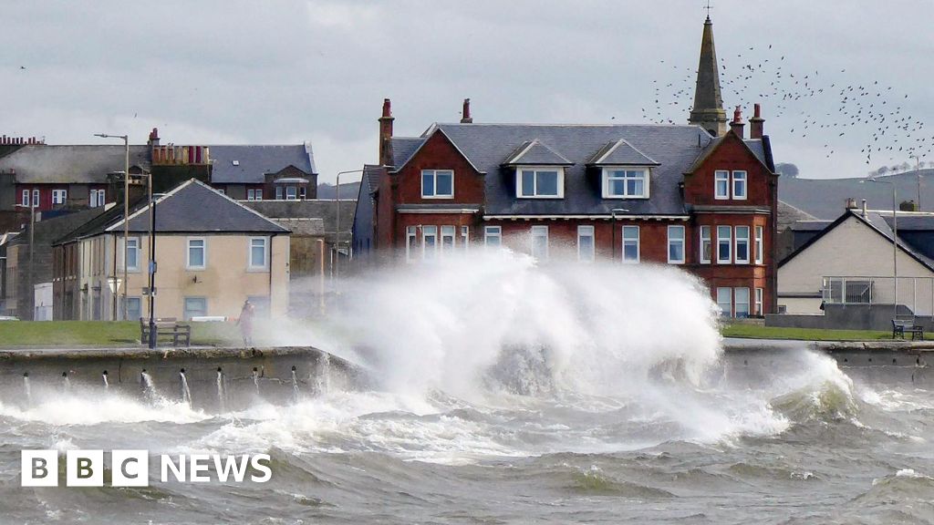
 BBC Weather Watchers: Aspers
Storm Kathleen has brought disruption to weekend travel with winds of up to 90mph battering parts of Scotland.
The Forth Road Bridge was closed to traffic, speed restrictions were put in place on railway lines and several ferry services were cancelled.
About 70 flights departing and arriving at UK airports were also cancelled on Saturday morning and flood warnings were put in place across the country,
The strongest gusts were recorded in the Cairngorms while wind speeds in coastal areas reached up to 70mph (113kmh).
 bbc
bbcA Met Office yellow warning for high winds was issued until 22:00.
In Bathgate a fallen tree on overhead lines disrupted train services to Edinburgh.
Network Rail also said engineers were called out to an object blown onto overhead lines between Camelon and Larbert.
ScotRail said a number of speed restrictions were in place until 19:00.
- Services on the Borders line will run hourly and take 25 minutes longer.
- West Highland services will take 30 minutes longer.
- Trains between Edinburgh and Carfin will be delayed by around 15 minutes.
At Scotland’s airports affected flights included services from Glasgow to Tiree, Barra and Dublin and from Edinburgh to Stornoway and Belfast.
Ferry operator Calmac said a number of services had been cancelled due to the adverse weather, including Ardrossan to Brodick, Oban to Castlebay and Ullapool to Stornoway.
Passengers have been advised to check the status of sailings and to allow extra time for their journey.
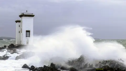
 BBC Weather Watchers: Livvy
The Scottish Environment Protection Agency (Sepa) said 33 flood warnings had been in place.
Vincent Fitzsimons, Sepa’s flood duty manager, warned that flooding was expected across western coastal areas all weekend.
He said: “Impacts start in the Solway coast and Firth of Clyde on Saturday and then move around the coast to the eastern side of the country over the next few days.
“Of particular concern is likely impact to communities in the Western Isles and Orkney late Saturday and across Sunday.”
Mr Fitzsimons added the extreme conditions would also bring a storm surge and large waves.
He added: “There is real danger to life from wave overtopping, particularly around causeways, coastal roads and paths.
“Be careful when travelling around exposed coastal areas and don’t walk or drive through flood water as there may be hidden hazards.”
Storm Kathleen is the 11th storm to be named in the 2023-24 season, making it the joint stormiest period since storm naming began in 2015.
The Met Office yellow warning also covers the north west and south west of England and parts of Northern Ireland and Wales.
A further yellow warning for wind has been issued for north-west Scotland on Sunday between 09:00 and 15:00.
In England, the storm is also expected to see temperatures reach up to 22C (72F) in East Anglia as warm air comes in from the continent this weekend.
Met Office meteorologist Ellie Glaisyer said: “The storm is the reason we are seeing the warmer temperatures, because the location of the storm – situated out towards the west of the UK – is bringing a southerly wind across the UK.
“This is bringing those warmer temperatures from the continent, meaning we are likely to see temperatures reaching 22C.”
The highest temperature of the year so far was 19.9C (68F), recorded at the end of January at Achfary in north-west Scotland.


